Quick Vectorization Method for Printing Area Map
1 An important step that must be experienced in the development of GIS (Geographic Information System) is to obtain a "suitable" electronic vector map. The word "suitable" here specifically includes the following four meanings: a suitable map area, a suitable map scale, a suitable vector layering setting, and a suitable vector map cost. When developing some small, economical GIS systems and learning GIS systems, it is often not easy to find vector maps that satisfy the above four meanings. The actual situation is: in different applications, different scales, different regions or different versions of vector maps are needed, but it is easy to find the corresponding paper maps, but it is difficult to have a satisfactory electronic vector map. Electronic maps provided by commercial companies or It is expensive, or the scale is too small, and not every map of the target area can be found. If the required electronic vector map can be obtained from the corresponding printed paper map, the above problem can be solved very well.
2 Introduction of common map vectorization technology At present, there are mainly two methods for vectorization of printed paper maps: one is the digital tracking of hand tracking, and the other is the digitization using vectorization software.
The so-called hand-tracking digitization refers to the creation of vector objects through manual tracking based on the grid image on the screen. This method has a huge workload, is prone to errors, and it is more difficult to achieve the required accuracy, and the digitization period is longer. These shortcomings determine that the method is not very wide in practical applications.
Using professional vectorization software to obtain vectorized maps can complete the digitization work in a short time, and can achieve better accuracy. Through this method, the process of vectorization of printed maps is completed. 3 Using MapInfo and R2V to realize the rapid vectorization of printed maps. The following is an example of the method of making vectorized maps when I developed the "GIS-based CRM system."
3.1 Scanning First, select a 1: 20,000 scale city map in Wuhan, and scan it into an electronic version of the grid map with a scanner. Note that there will be a problem here, that is, the printed paper maps are generally required to be relatively large in size, and common scanners cannot scan them all at once. How to solve this problem? We can divide the map into several parts and scan them separately. For example, the author divided the map of Wuhan into 3 rows and 3 columns and a total of 9 squares for scanning. For every two adjacent squares, a certain overlapping part should be scanned more to leave room for future splicing processing, which is similar to the processing allowance in mechanical processing.
3.2 Stitching and preprocessing After the scan is completed, you can use image processing software to stitch the resulting small map into a complete map. It is recommended to complete the stitching work in Photoshop, because Pho-toshop has powerful features and mature technology in processing images. During the stitching process, the connection of the corresponding elements between adjacent maps is good. This work requires only a little more care and is not difficult.
After splicing into a complete map, in order to get a better vectorization effect, it needs to be preprocessed, that is, the text labels and other symbols on the raster map are erased as much as possible in Photoshop After obtaining a suitable electronic version of the raster map, you can begin to vectorize the map. It is recommended to use R2V of American AbleSoftware company for vectorization.
R2V is a vectorization software of American AbleSoftware company in the field of surveying, mapping and GIS. It provides users with a comprehensive automatic raster image to vector graphics conversion. It can process raster (scan) images in multiple formats and is a useful one. Vector editing tool for scanning raster images as background.
R2V provides a simple and complete solution for digitizing raster images into vector data. The entire raster image vectorization process can be fully automated and does not require manual intervention (optional manual intervention). You only need to display the scanned image on the screen and select the vectorization command. All line segments can be recognized in a few seconds and displayed on the image for you to correct and edit. The R2V used by the author is a trial version, but it is enough for the issues discussed in this article.
Next, the vectorization processing steps are introduced in detail: (1) Open the processed raster map in R2V, click the menu item "Image"> "Color Properties" to open the "Extract Color Properties" dialog box. Then draw a small rectangle on a map element in the map, click "Add" in the dialog box, and then click the "Vectorize" button. In the dialog box that pops up, select "Boundary Line" as "Extract Line Segment", and then you can click the "Start" button to start vectorization.
(2) After the vectorization is completed, click the menu "File"> "Output Vector" to open the "Save As" dialog box. Select the file type as ".dxf", enter the file name (here, because it is vectorized to the rivers and lakes in the Wuhan city map, temporarily named "shuixi") to save. This vectorizes a class of elements in the map. The vector files of each layer (different elements are generally placed in different layers) are obtained by performing the same processing on other elements in the map respectively.
(3) In MapInfo, select the menu "Tools"> "Map Wizard Tool"> "Run Map Wizard Tool", open the "MappingWizardTool" dialog box and select "2.Maps"> "InportMap (*. Mif, *. Dxf, *. Mbi, *. Mmi, *. Img) ", and then click the" Open ... "button to select the one created in the previous step in the dialog box that pops up. After selecting the appropriate projection and naming the dxf file, you can import and create a map format supported by Map-Info. For example, choosing to import the previous "shuixi.dxf" completes the vectorization of the map element of the water system in the map.
Figure 4 Use the MapInfo tool to import the ".dxf" vector file in the same way, all of them. The dxf files are imported and converted into related vector files supported by MapInfo. If possible, you also need to make certain modifications to each layer in MapInfo, and perform appropriate labeling and other work against the original raster map. In this way, an electronic vector map of a printed map is obtained. Since the vector map produced by this method is properly layered during the production process, the work of re-layering is omitted.
In actual use, you can also use the vector map with the corresponding raster map registration. Put the raster layer on the lowest layer to make the map more realistic. Registration work can also be done through MapInfo, which will not be introduced here.
4 Summary In order to solve the problem that electronic vector maps are not easy to obtain or cost too much in the application development of small, medium, and low-cost geographic information systems, this paper proposes a method for obtaining electronic vector maps from printed paper maps: The paper map is scanned and processed using Photoshop to obtain an electronic raster map, which is then vectorized into a vector map using R2V. The method is simple and easy to implement, economical in cost, small in workload, and high in accuracy. It can quickly obtain the appropriate electronic vector map required by the GIS project, and provides a strong basic guarantee for the smooth implementation of the project development.
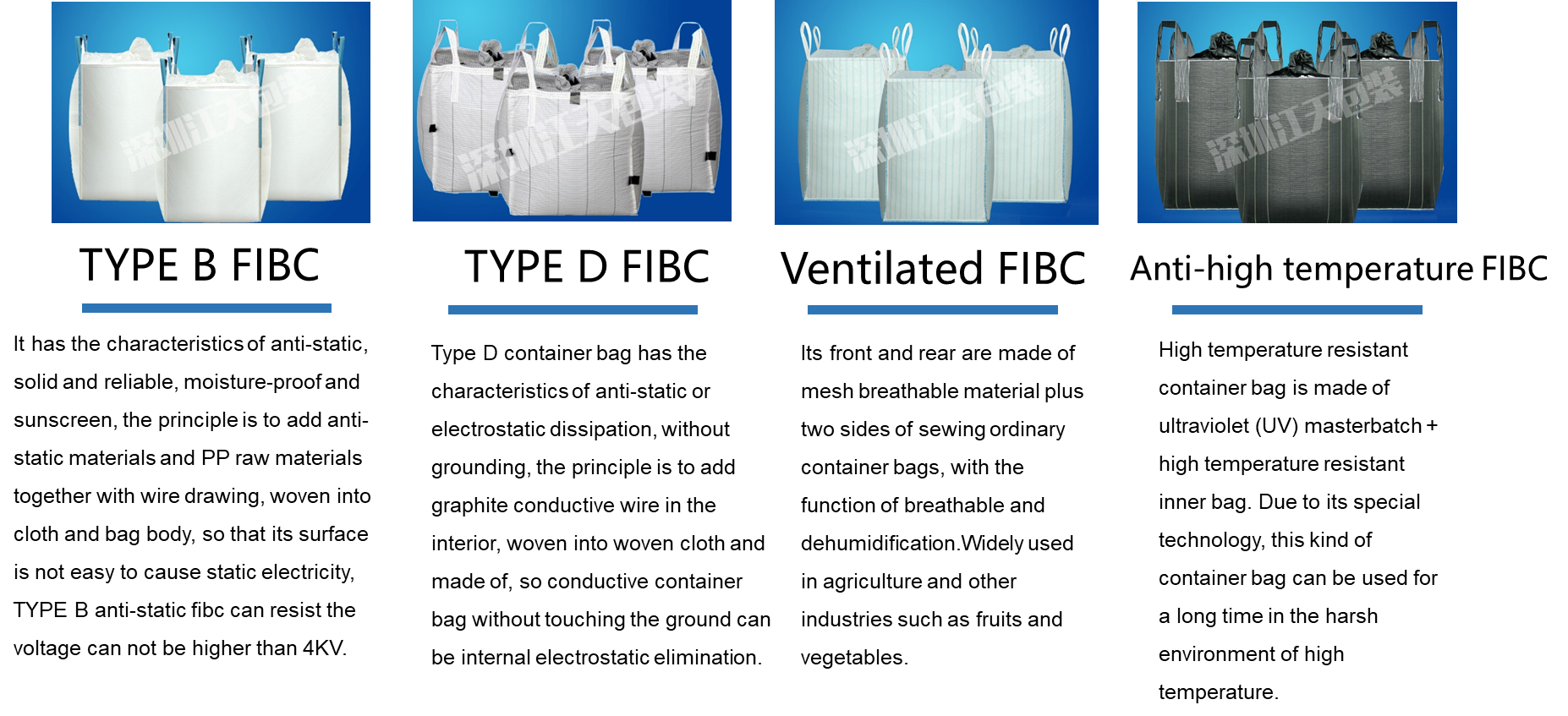
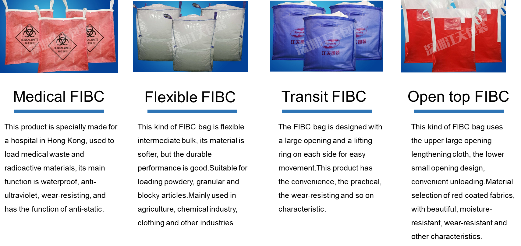
The Jumbo Bags is a flexible packaging container in common used internationally. The jumbo bags shapes are usually rectangular, round, and U shaped. The Jumbo Bag structure has top hanging type, side hanging type and bottom hanging type, usually with inlet and outlet.The jumbo bag is large volume, light weight and easy to load and unload and easy to ship bulk powdery materials . Pp Jumbo Bags is one of the most common packaging materials. The jumbo bag is characterized by simple structure, light weight, folding and empty space and low price.
The jumbo bags have the advantages of moisture-proof, dust proof, radiation resistance and strong security, and it has enough strength in structure. Due to the convenience of loading and unloading and handling, the loading and unloading efficiency has been greatly improved, which has developed rapidly in recent years. The jumbo bags are usually made of polypropylene, polyethylene and other polyester fibers. Can be widely used in chemical, building materials, plastic, mineral products and other powder, granular, bulk goods packaging, is the storage, transportation and other industries of the ideal supplies.
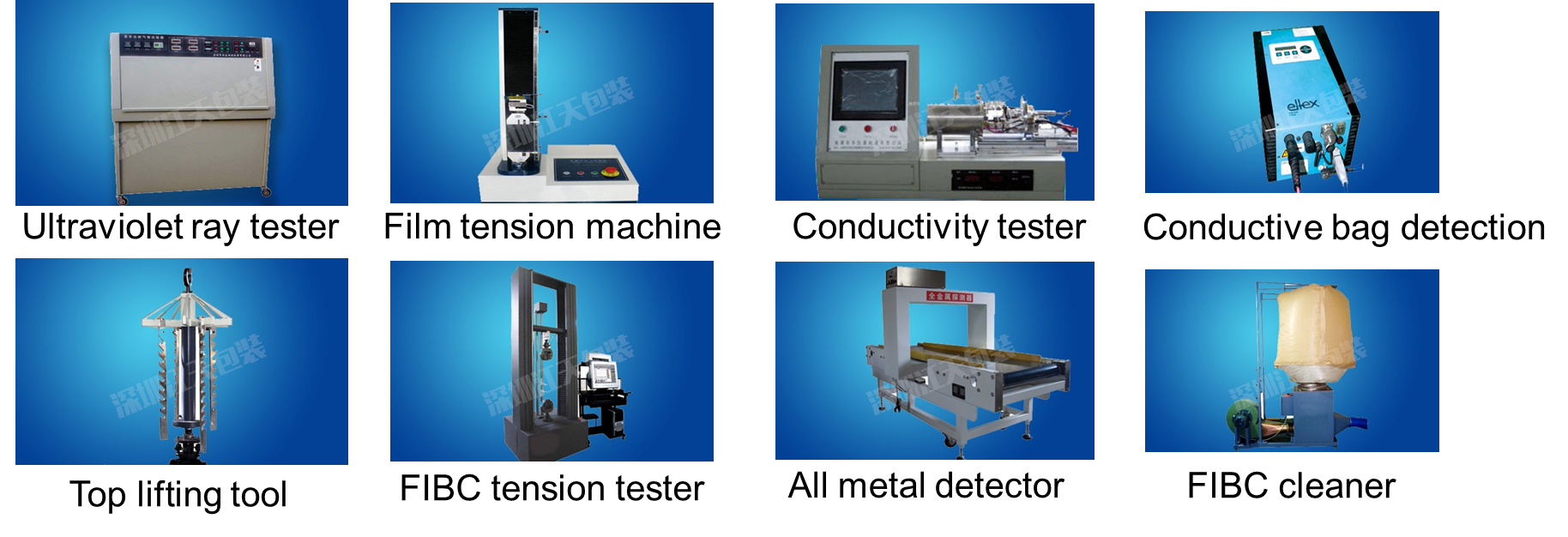
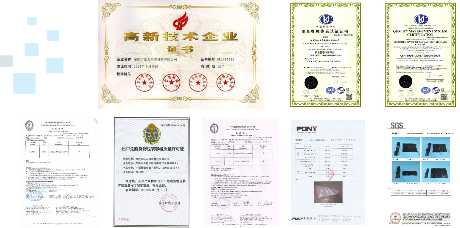
We can customize products according to customer's requirement, according to customer's actual use place, environment, operation habit, product features such as custom demand, compared with the market of jumbo bags, our jumbo bags can better meet the personalized needs of various customers, increase customer's production efficiency, save manpower cost and better fit the customer's usage habits. Our jumbo bags, Fibc Bags, plastic Woven Bag and other products have passed ISO9001/2008 quality system certification, the domestic and foreign various third-party certification testing, is one of China's high-tech enterprises, with independent research and development and the ability to create.
Product Show
Quality Inspection Equipment
Enterprise Certification
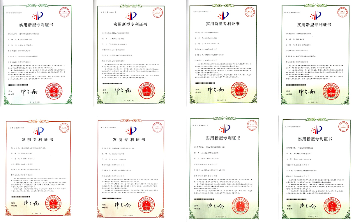
R & D patents
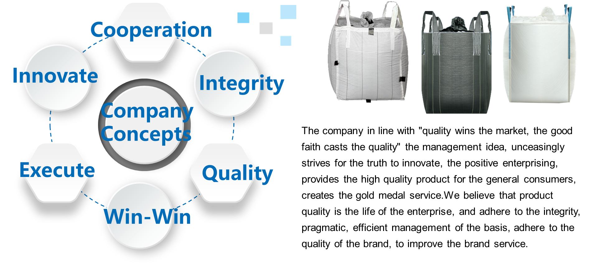
Company concept
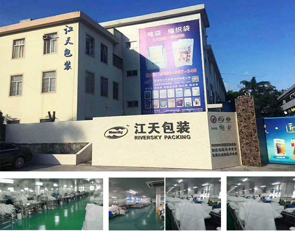
Our Factory
Jumbo Bags
Jumbo Bags,Pp Jumbo Bags,Container Bag,Jumbo Storage Bags
Shenzhen Riversky Packing Materials CO.,LTD , https://www.jtfibc.com